


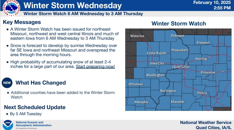
…WINTER STORM WATCH IN EFFECT FROM WEDNESDAY MORNING THROUGH LATE
WEDNESDAY NIGHT…
* WHAT…Heavy snow possible. Total snow accumulations between 6 and
8 inches possible.
* WHERE…Portions of north central, northwest, and west central
Illinois and east central, northeast, and southeast Iowa.
* WHEN…From Wednesday morning through late Wednesday night.
* IMPACTS…Travel could be very difficult. The hazardous conditions
could impact the Wednesday morning and evening commutes.
* ADDITIONAL DETAILS…North winds 10 to 15 mph, with gusts up 25
mph may cause some blowing and drifting snow, especially on
east-west roads.


